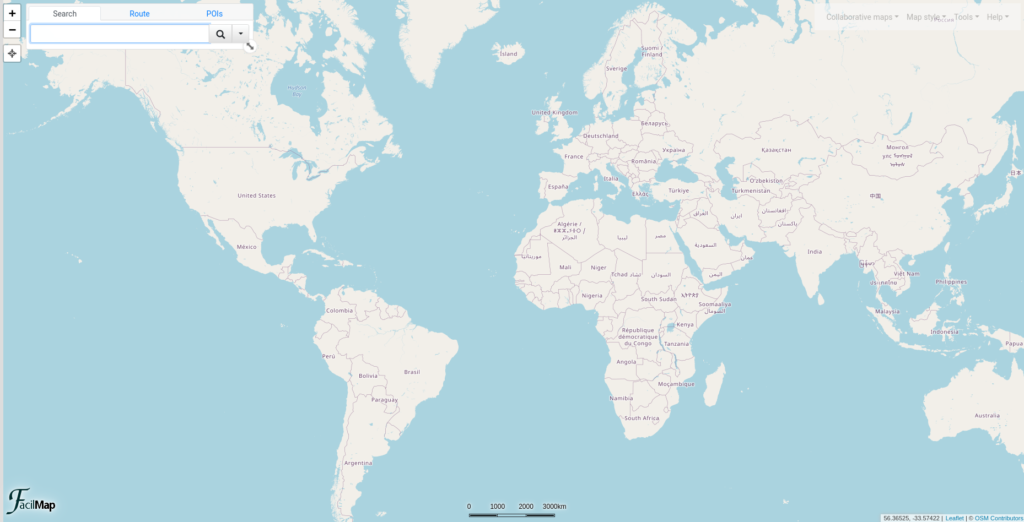
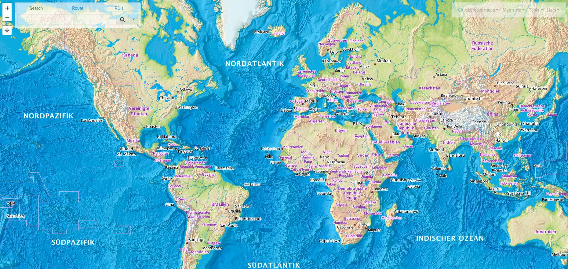
One of the most complete alternatives to Google/Bing maps. Find places, create routes with detailed routing such as elevation, points of interests, drag-and-drop to re-route, and more. You have the ability oi add markers, lines, import/export maps, and use different map styles/layers.
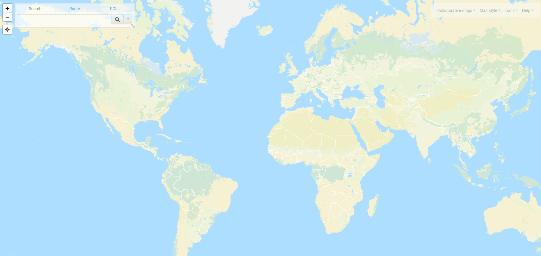
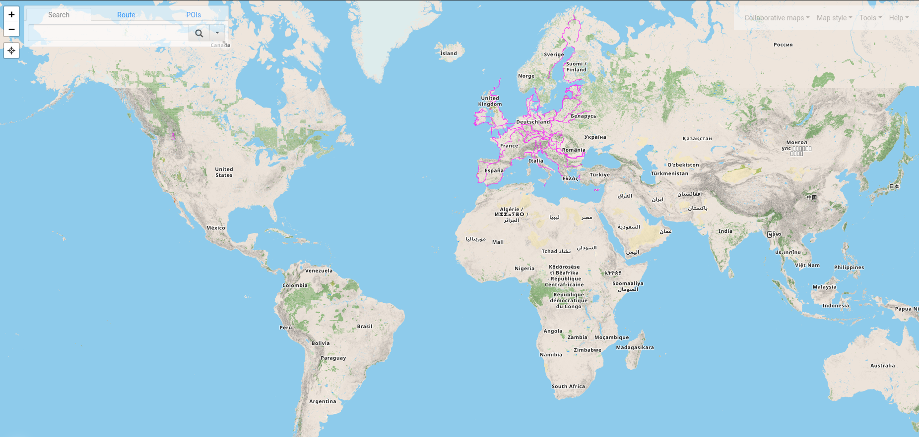
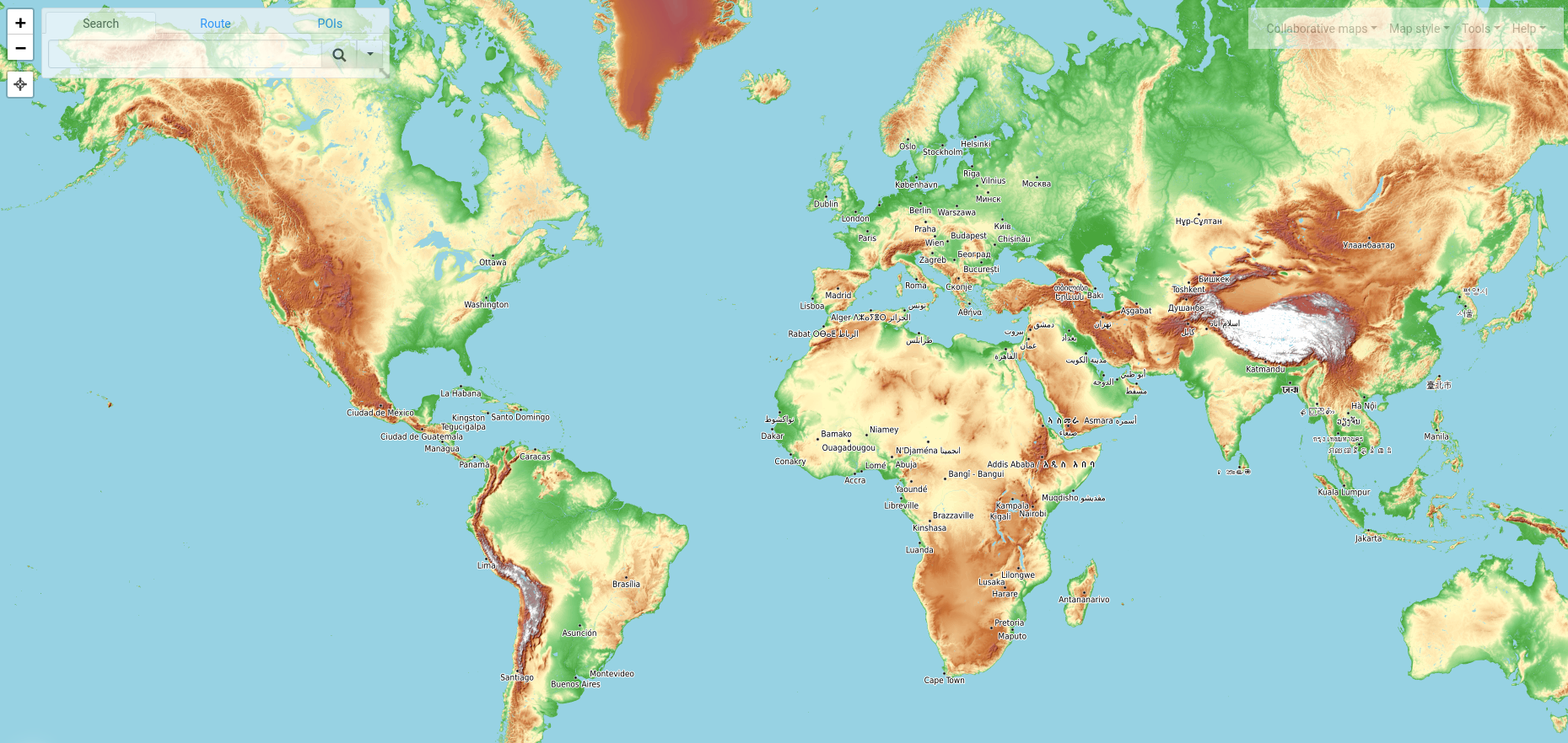
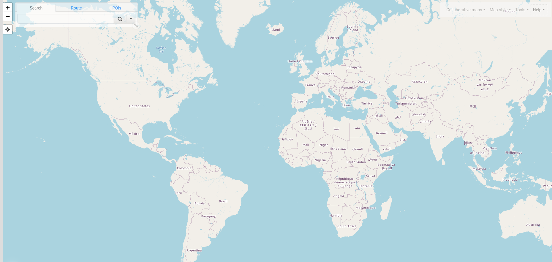
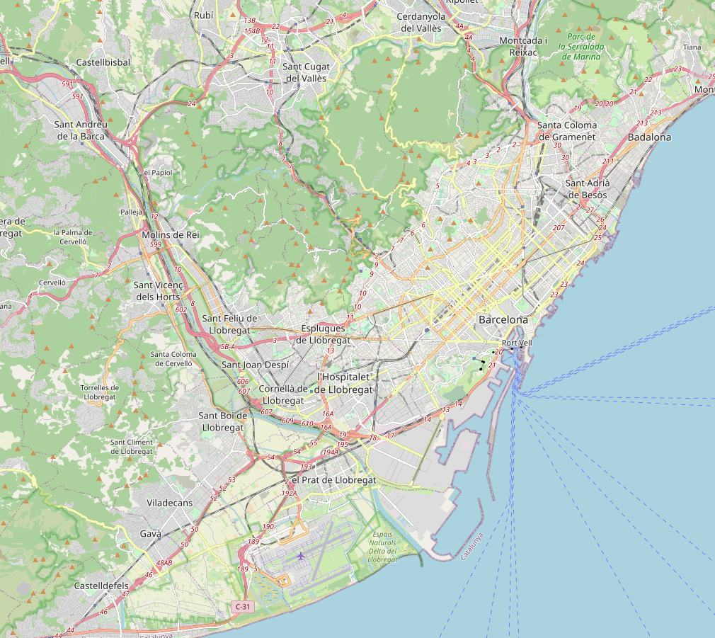
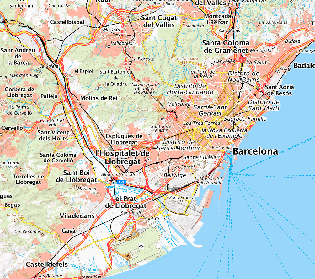
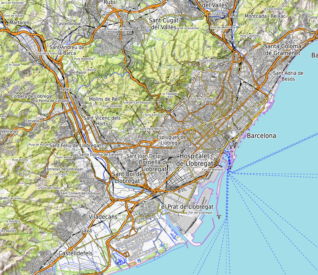
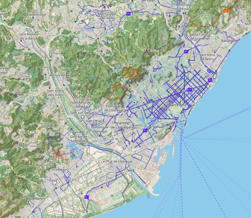
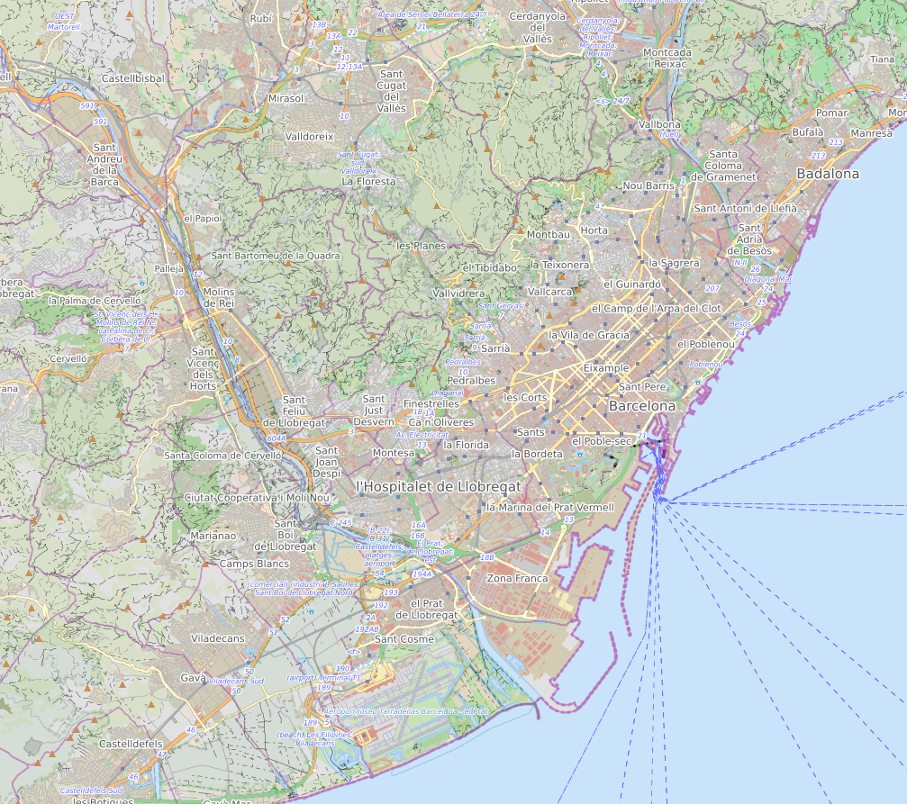
many layers
bike, hike , car rides, water marks, routes, elevations….
MapLink
top plus
open topo map
Cycl osm
hike and bike
open cycle map
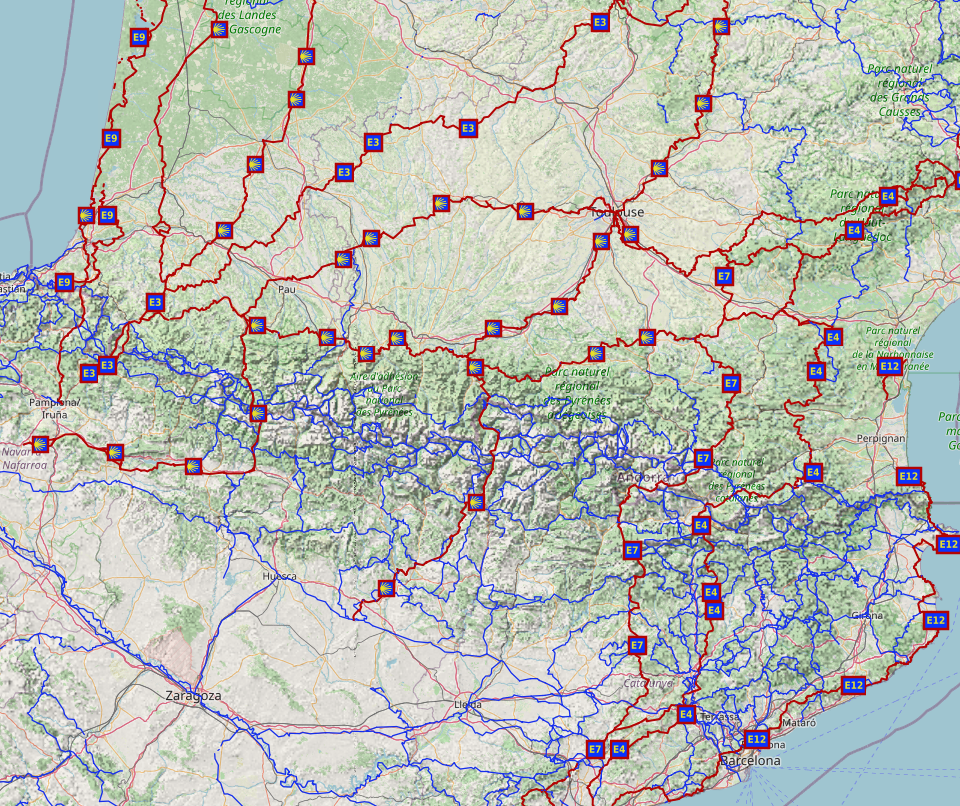
want to hike?
open the map, create your route
1. Enable the hiking paths
The great thing is that views such as Hiking and Biking, together with the Hiking Paths layer, are extremely detailed, showcasing a lot of routes.
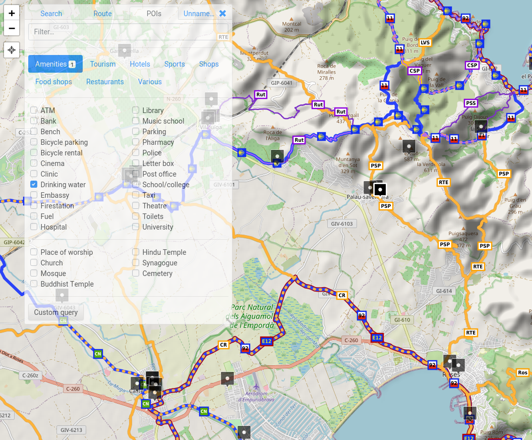
2. zoom in and enable points of interests
The more you zoom in, the more details you’ll be faced with, and one of the most useful tools is POIs (Points of Interest). They will help you find water sources, supermarkets, toilets, and so much more.
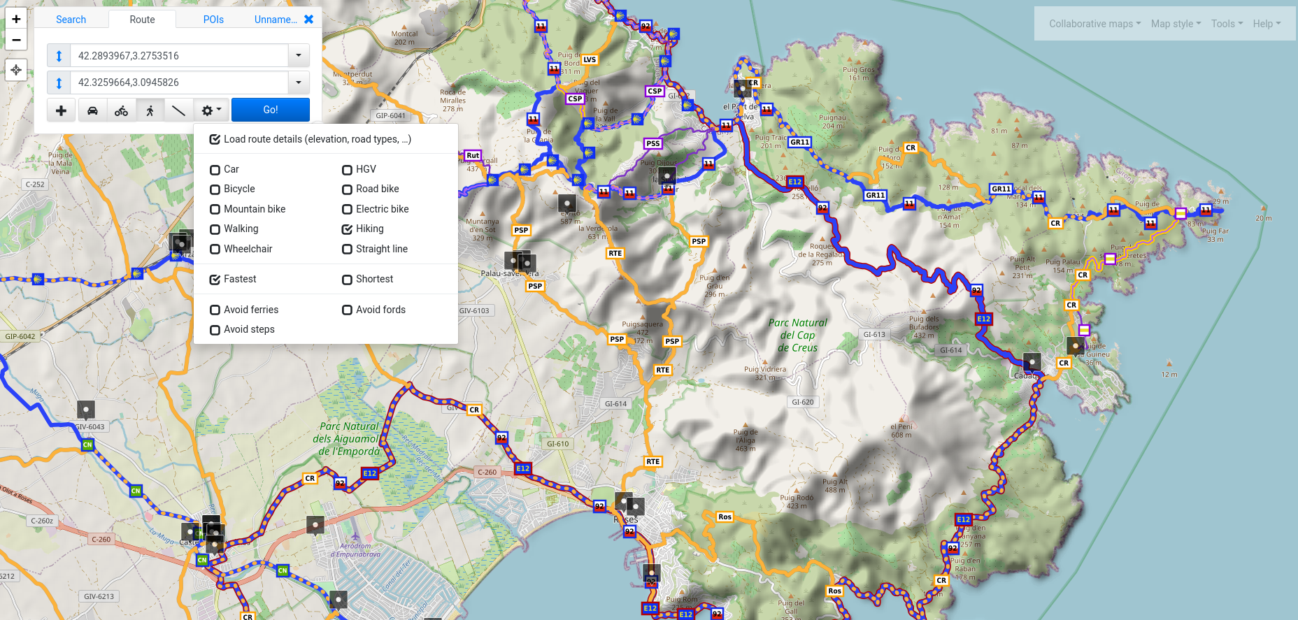
3. create your route
Choose a start and an end point for your route; select to load more route details and to opt for a hiking route.
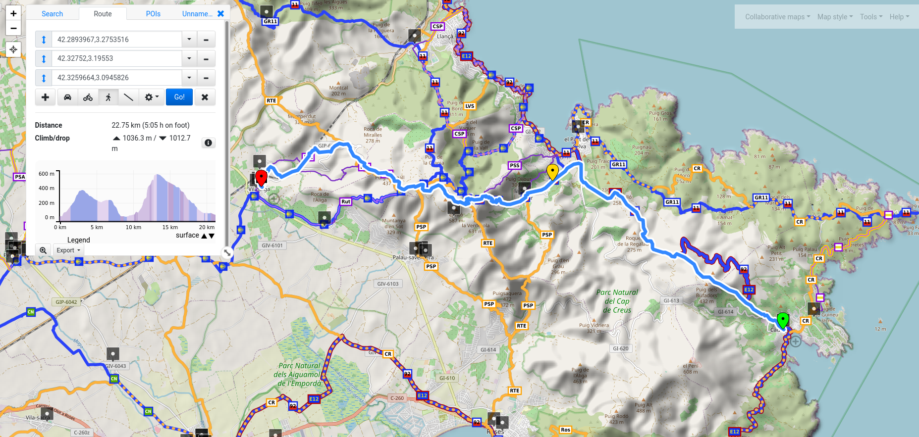
and now you are ready!
You can see the elevation of your route, the time it will take to hike; you can add more points on your route, or drag and drop points to re-route it via different paths.
save, import, collaborate
The amazing part is that you can create your own maps and share them with others or export
SAVE
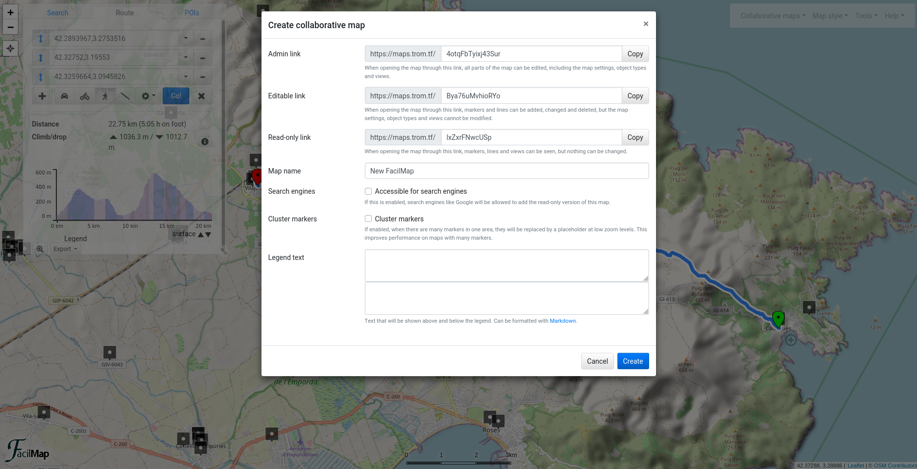
The awesome part is that you can now save your hiking map. Click “Collaborative Maps” and then “Create a new map”. You can choose any name for any of the links, or leave them as default, and everything will be saved automatically on maps.trom.tf, without any registration required. As long as you save the admin link, you can always access and edit your map.
If you create a route, make sure you save it as a “line” in the route popup, left side. Add to Map -> Line.
You can now add markers and lines, and save as many views of your maps as you want. Invite your friends via the editable link if you want them to be able to edit the map, or simply share the read-only link with those that are only meant to see the map.
export/import
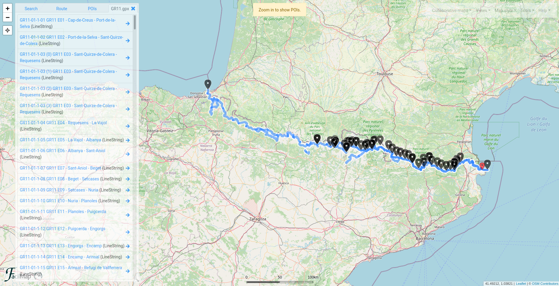
Your custom map can be exported and then imported into any map application that is humane and lets humans import their custom maps. There are plenty of such apps fortunately. But the cool part is that you can also upload routes/maps into maps.trom.tf. As an example, here is the wonderful GR11 trail that goes across Spain through the Pyrenees, with some custom markers added to the map. Download and upload to your custom TROMmap if you want to test it.
and more
It has more power under the hood
open the current view in trade-based, but hard to replace maps, such as Google Maps (Satellite) or Bing - this can be useful if you want to see the map from space.
you can combine layers with views
you can use complex syntax to hide/show certain markets/lines based on their attributes.
you can open the current view in OpenStreetMap directly
some POIs provide detailed information such as opening and closing hours for supermarkets, their official websites, and more.
you can enable tens of POIs (Points Of Interest) - although it is recommended to not use more than 5 at once
you can create custom markers
you can save infinite views of the same map and easily manage them
you can see a detailed view of the edit history and restore any
you can publish your map to the TROMmaps public directory
you can embed any map/view
it is mobile friendly
Sorry for this popup but we need your help!
We only need 200 people who can support us with 5 Euros a month so that we can keep TROM and all of the projects we have alive and relevant, FOREVER.